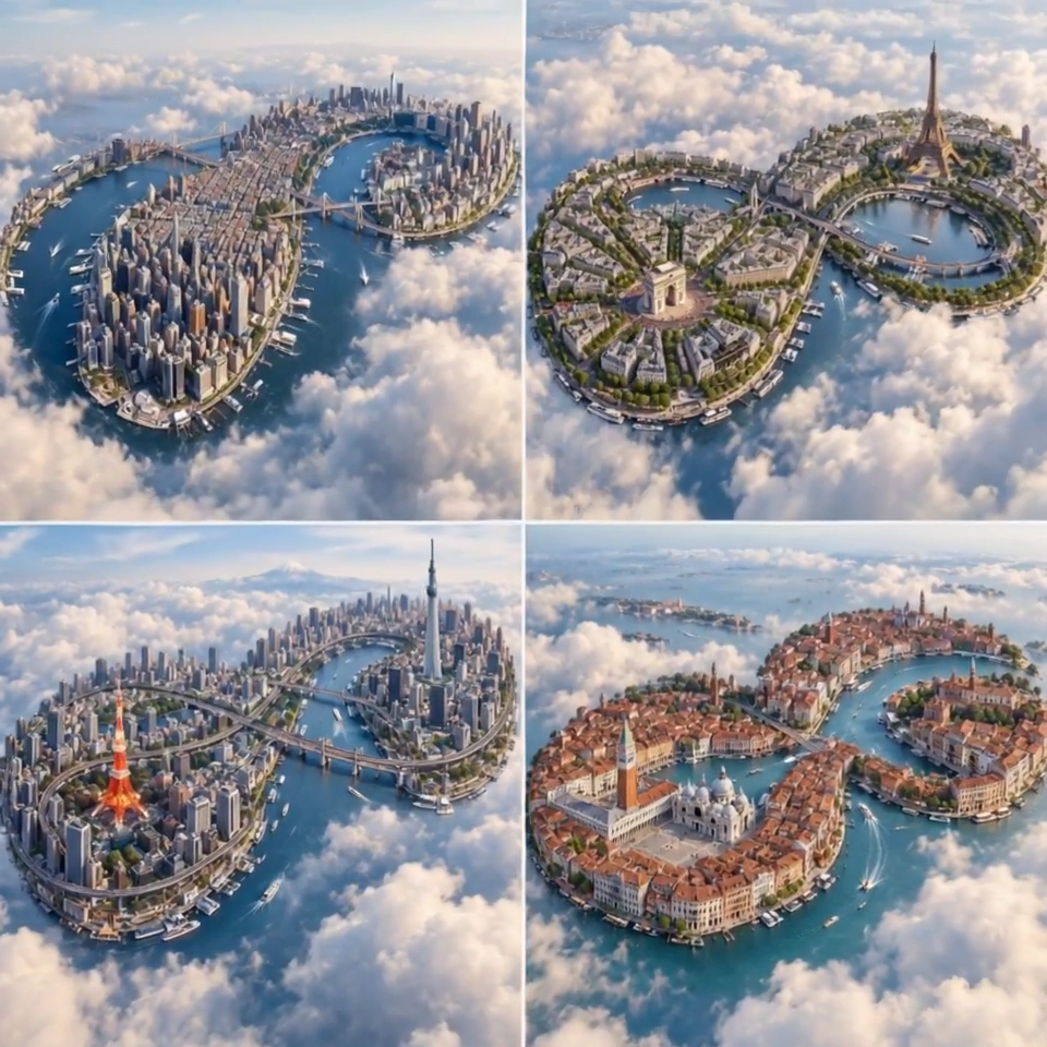
Infinite Loop Planets Reveal Real City Geography in Macro Drone Shots
Four cities become photoreal infinity-shaped tiny planets, each with accurate roads and clouds.
Prompt
2x2 grid, 1:1 do this for 4 famous cities {CITY = [input] TOPOLOGY = infinity loop GEOGRAPHY = real LANDMARKS = accurate WATERWAYS = accurate ROAD_NETWORK = accurate Render a photoreal infinity-shaped tiny planet of CITY using real geographic relationships with continuous looping city structure aerial drone macro photography cloud layer environment, no labels}
Published: September 21, 2026 by Gadgetify